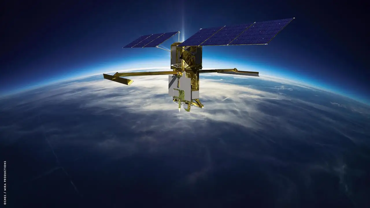
NASA’s SWOT (Surface Water and Ocean Topography) mission is revolutionizing our understanding of Earth’s water systems. By delivering high-resolution maps of oceans, rivers, and lakes, the satellite has uncovered hidden underwater landscapes that were previously invisible, offering new insights into ocean currents, tectonic activity, and climate change. This international collaboration marks a new era in Earth observation, with implications that could transform environmental science and policy.
Key Points at a Glance
- NASA’s SWOT satellite provides unprecedented mapping of Earth’s oceans and surface water.
- Discoveries include underwater features like abyssal hills and seamounts, critical for understanding ocean dynamics.
- Insights from SWOT will enhance climate models and environmental monitoring globally.
- The mission is a collaboration between NASA and international partners.
The Surface Water and Ocean Topography (SWOT) mission, launched in December 2022, marks a groundbreaking advancement in our ability to observe and understand Earth’s water bodies. Developed jointly by NASA and France’s Centre National D’Etudes Spatiales, SWOT is designed to conduct the first comprehensive global survey of Earth’s surface water, providing unprecedented insights into the dynamics of our planet’s oceans, lakes, rivers, and wetlands.
In its first year of operation, SWOT has achieved remarkable milestones. With a resolution of 5 miles (8 kilometers) and a 21-day revisit cycle covering most of the planet, the satellite has mapped Earth’s ocean floors in greater detail than the combined efforts of three decades of previous satellite and ship-based observations. This high-resolution mapping has unveiled a plethora of underwater features, including abyssal hills—parallel ridges formed by tectonic activity—and small seamounts, which were previously undetectable. These discoveries are poised to significantly enhance our understanding of oceanic processes and geological history.
SWOT’s innovative approach involves measuring the height variations of the ocean surface, which, contrary to common perception, is not uniformly flat. Gravitational anomalies caused by underwater structures lead to subtle elevations in the sea surface. By detecting these variations, SWOT can infer the presence and characteristics of subaqueous formations. This capability is crucial for studying ocean currents, as well as the transport of nutrients and heat within marine environments, thereby informing climate models and ecological forecasts.
The data provided by SWOT are not only a testament to technological advancement but also a product of international collaboration. The mission brings together expertise from U.S. and French oceanographers and hydrologists, along with contributions from global partners, exemplifying a unified effort to deepen our understanding of Earth’s hydrosphere.
As SWOT continues its mission, the wealth of data it generates is expected to revolutionize fields ranging from climate science to marine navigation. By offering a more detailed and comprehensive view of Earth’s surface water and ocean topography, SWOT stands as a pivotal tool in addressing the environmental challenges of our time and advancing the scientific community’s ability to monitor and respond to changes in our planet’s vital water resources.
